
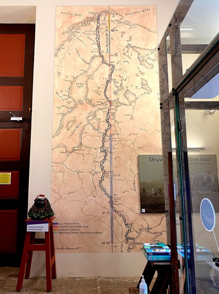
Map of the Struve Geodetic Arc, Tartu Tähetorn, Estonia
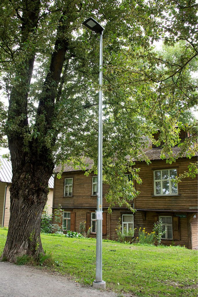
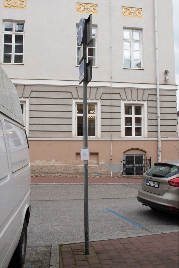
I wanted to acknowledge the city of Tartu as the starting point of what I consider to be an ambitious, but perhaps invisible, planet-scaled earthwork. I was struck by various 19th century maps of the arc and related topographic surveys I saw at the Tähetorn—the old observatory perched on a hill above the city, which is also the arc’s first measured point—and wanted to make something similar. Using historic letterpress machines in TYPA’s unusual studio where I was an artist-in-residence, I made an accordion-folded map of the meridian line as it passes through buildings, parking lots, parks and cemeteries in the contemporary city. As I walked through Tartu to make this map, I thought about how such ordinary points in the landscape lead to places much larger and further away and how the significance of a site can be so easily overlooked or unknown.


.



.
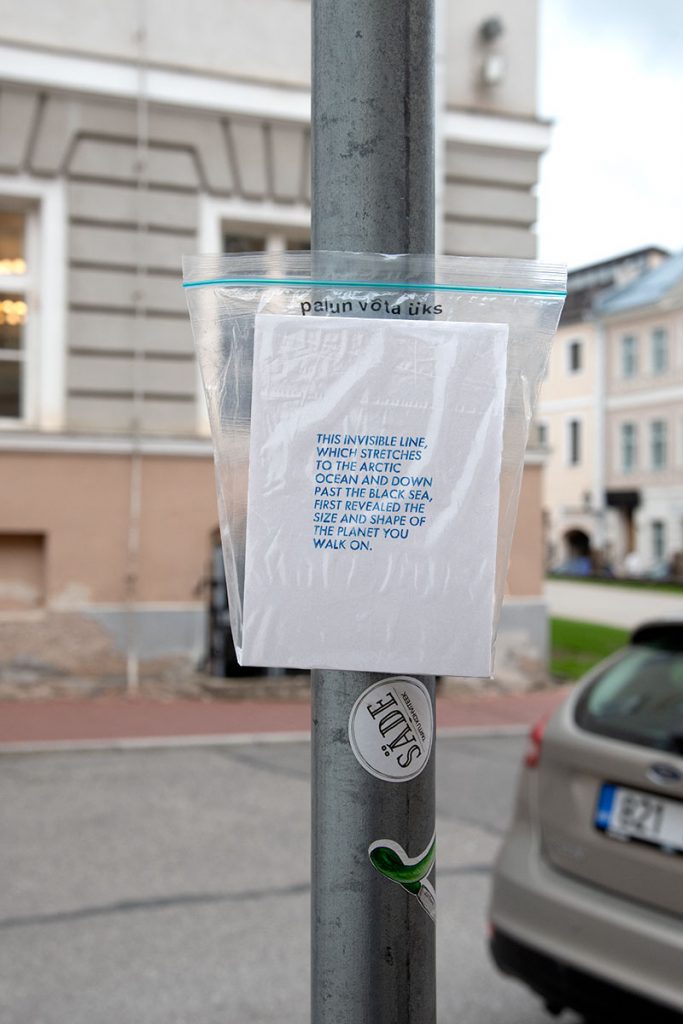
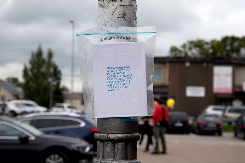
This invisible line, which stretches to the Arctic Ocean and down past the Black Sea, first revealed the size and shape of the planet you walk on | 2021 | letterpress print on paper | 16 x 11 cm folded, 64 x 11 cm unfolded