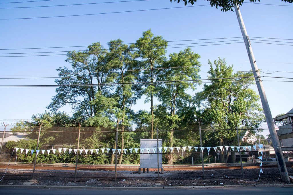
.The terminal moraine is the accumulation of debris at the end of a glacier is an ongoing, multi-form project centered on the endpoint of the massive ice sheet that once covered and eventually formed the landscape where New York City sits today. This raised ridge of earth formed by moving ice runs from the edge of Queens, through Brooklyn and down to the tip of Staten Island (and beyond). By revealing the physical contours of the City and positioning New Yorkers within geologic time and space, this project considers our relationship to changing climates and the built and natural history of local places.
.
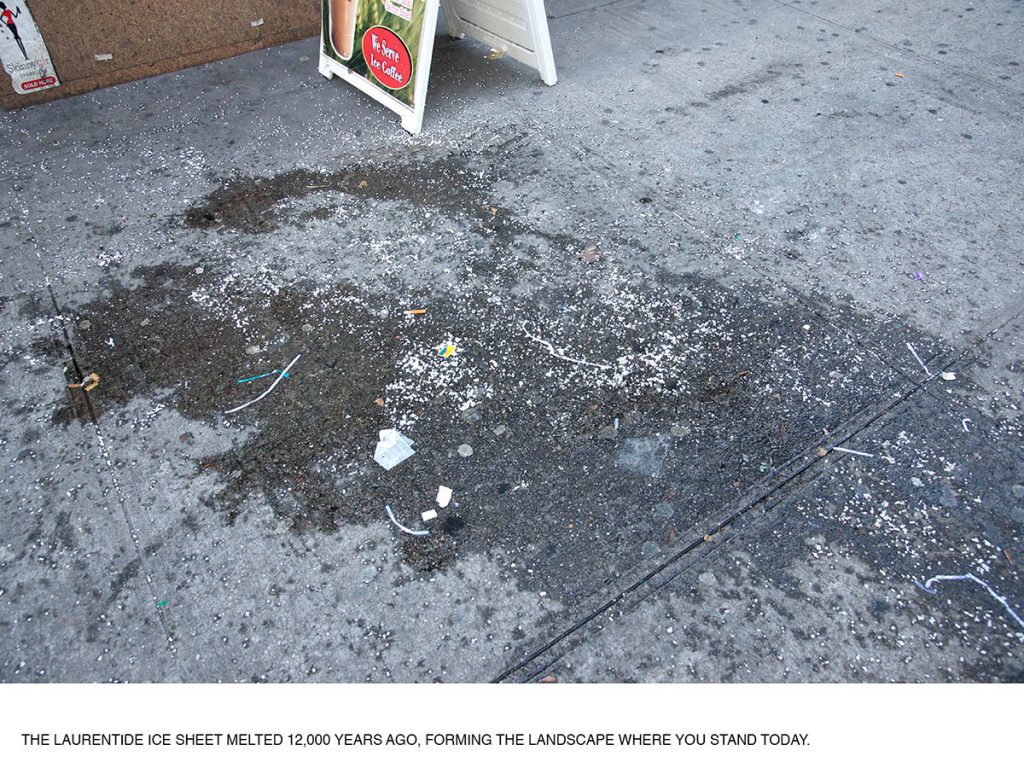
The Laurentide Ice Sheet melted 12,000 years ago, forming the landscape where you stand today | 2019 | archival pigment print on dibond | 18 x 24 inches (ABOVE)
.
The Barnes Ice Cap is all that remains | 2019 | archival pigment prints on dibond | 16 x 74 inches

.
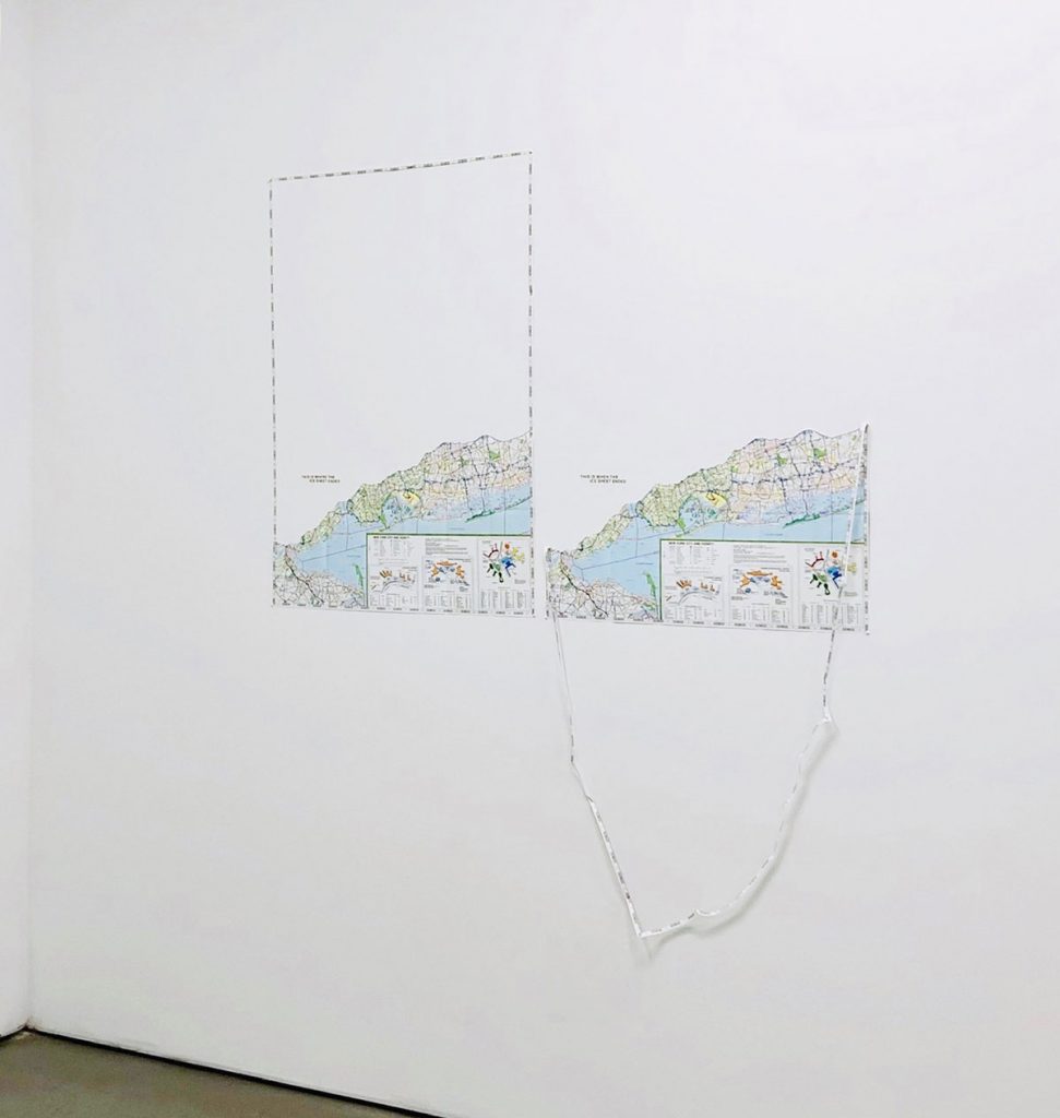
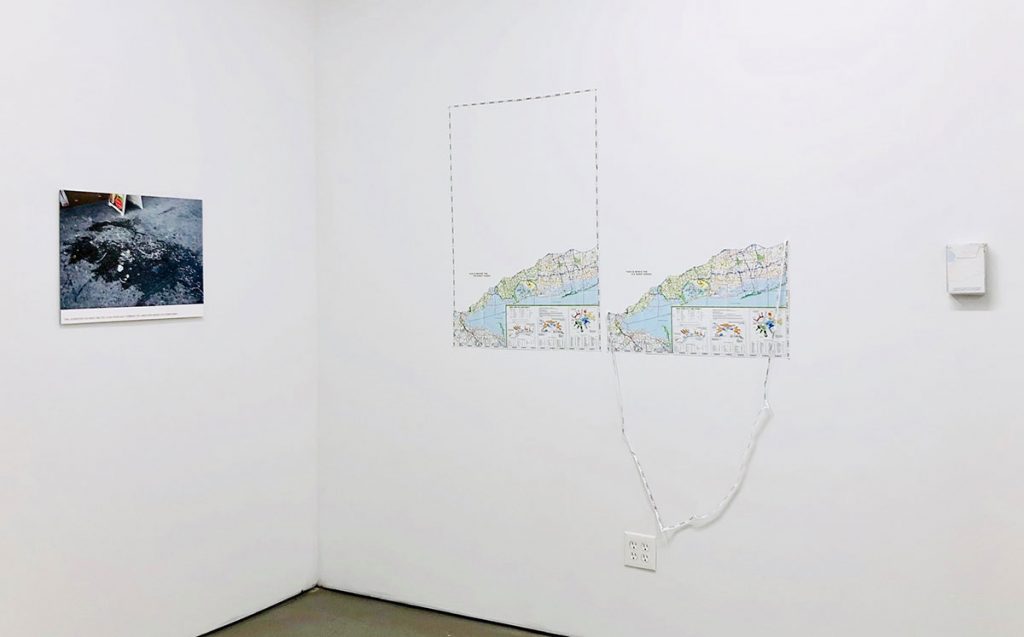
Map of the Terminal Moraine | 2019 | cut maps, vinyl text | 63 x 54 1/2 inches
 .
.
Installation view: Silent Partner, Aquarius, Ridgewood, Queens, NY; 2019.
.
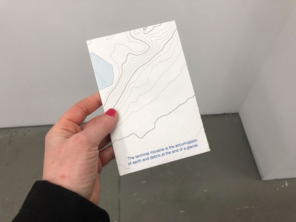
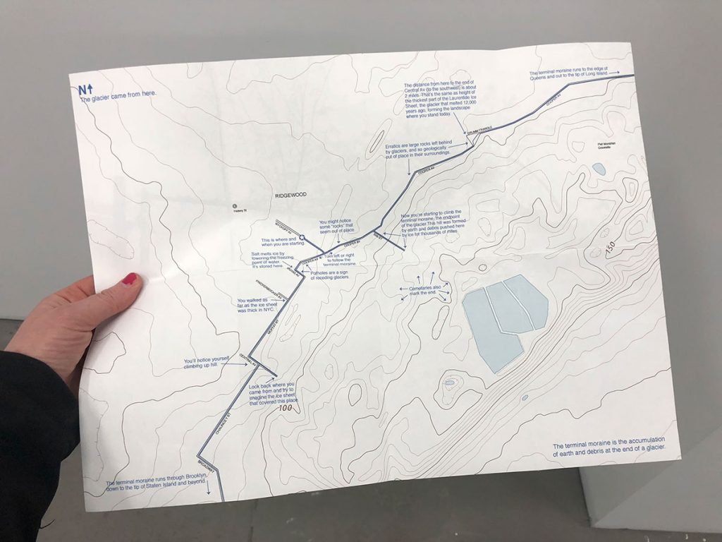
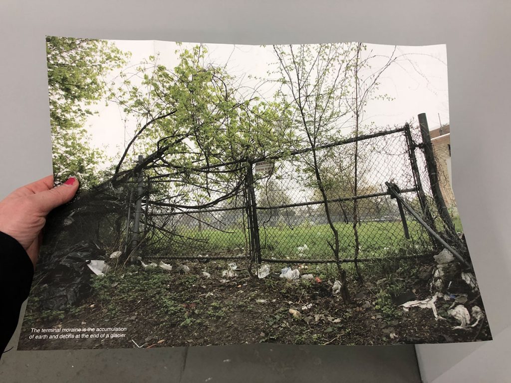
The terminal moraine is the accumulation of earth and debris at the end of a glacier | 2019 | ink on paper | 12 x 16 inches
.
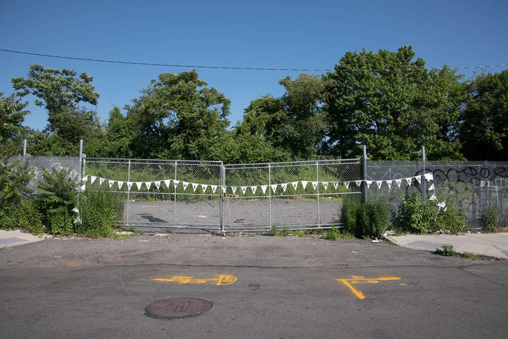
This is where the ice sheet ended, Ridgewood, Queens | 2019 | archival pigment print | 20 x 30 inches
.
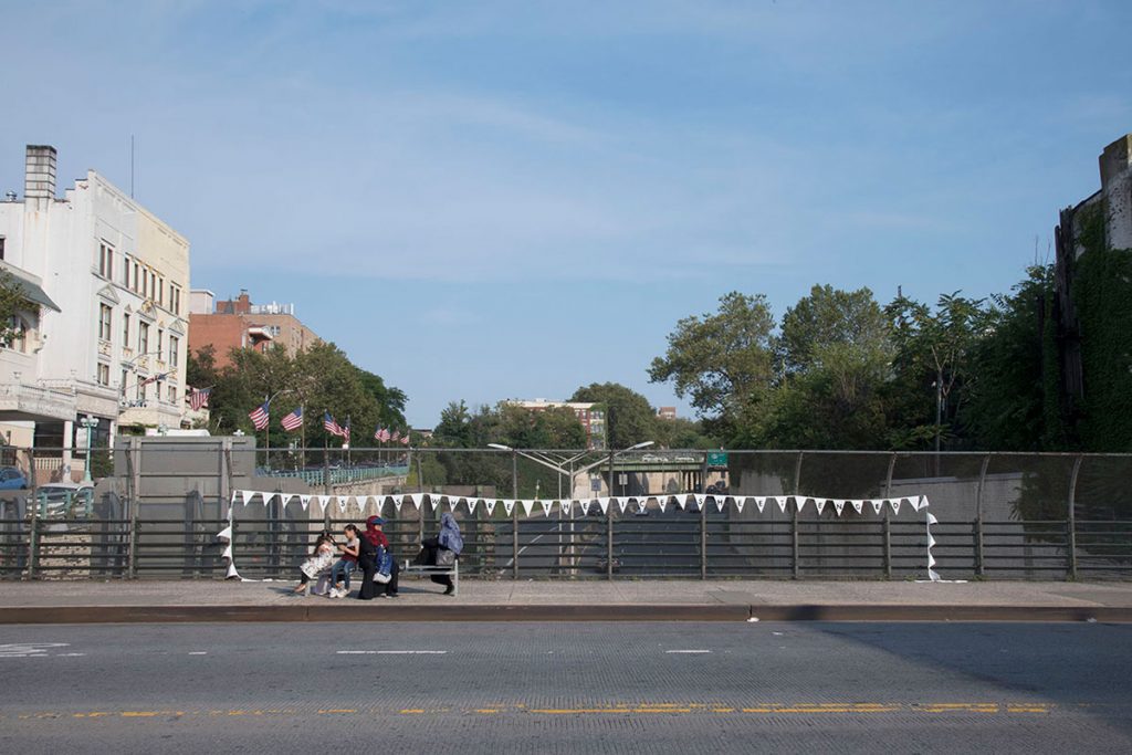
This is where the ice sheet ended, Park Slope, Brooklyn | 2019 | archival pigment print | 20 x 30 inches
.
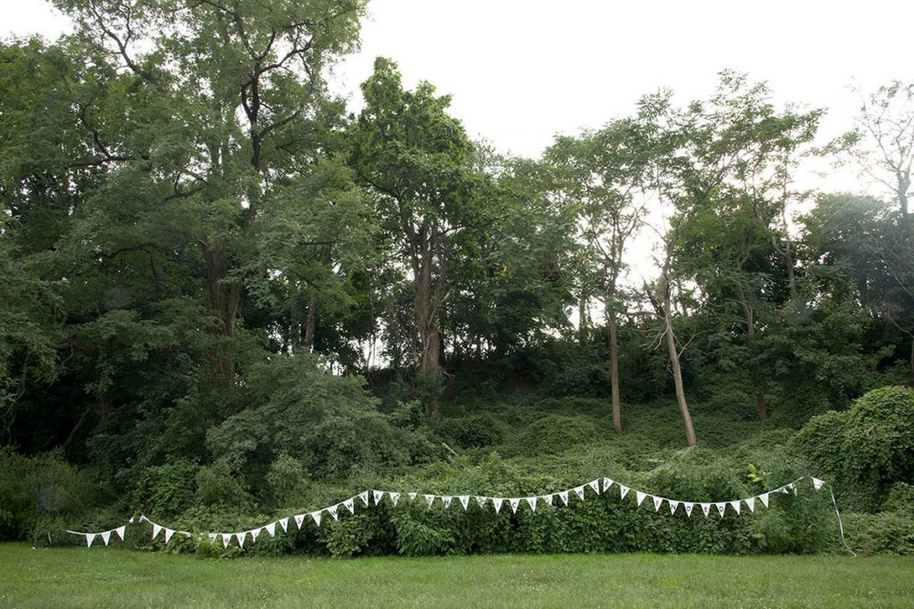
This is where the ice sheet ended, Bay Ridge, Brooklyn | 2019 | archival pigment print | 20 x 30 inches
.
This is where the ice sheet ended, Tottenville, Staten Island | 2019 | archival pigment print | 20 x 30 inches
