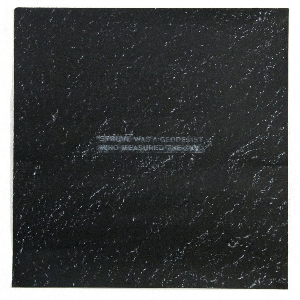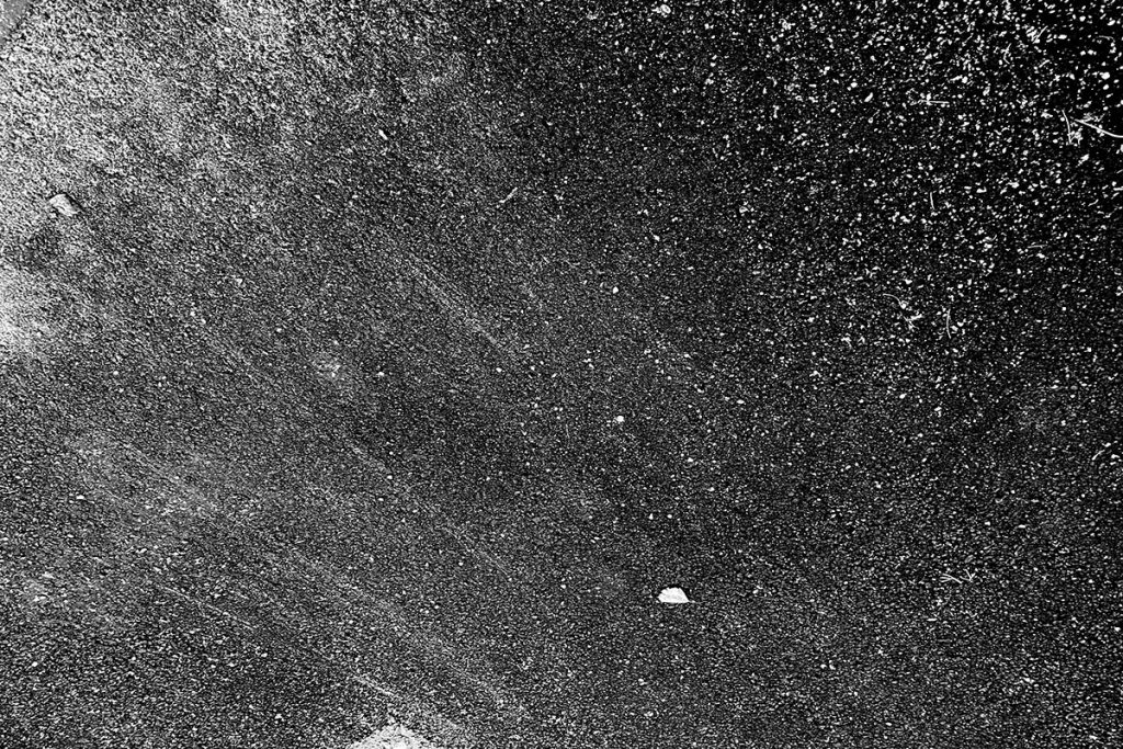
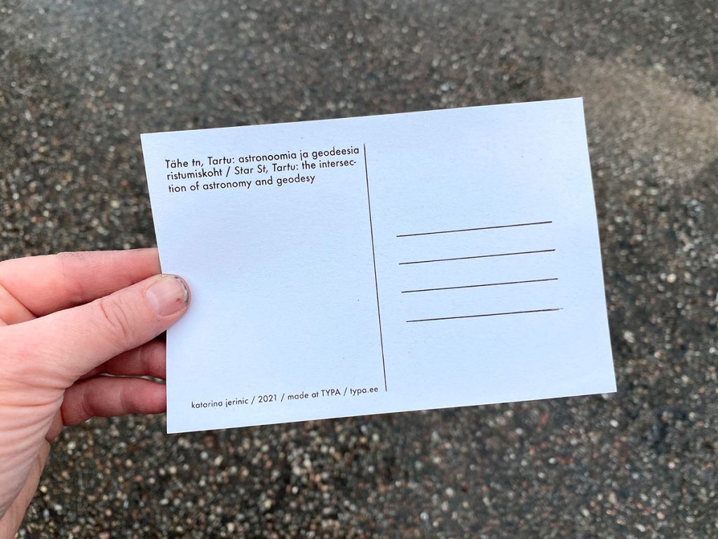
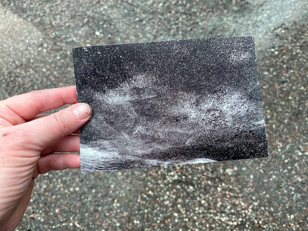
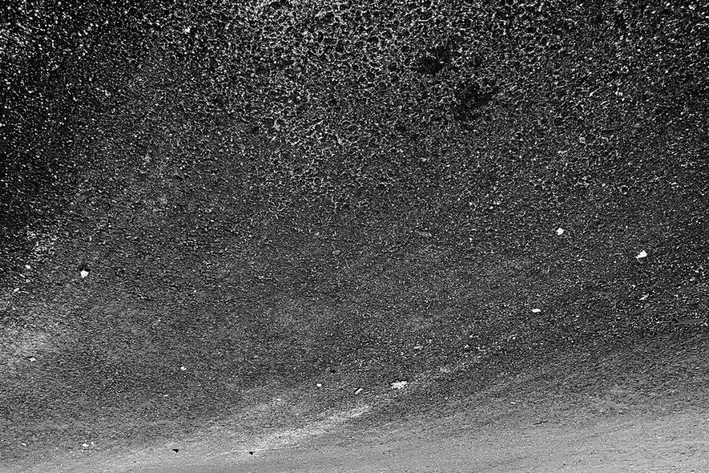
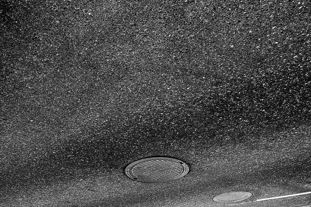
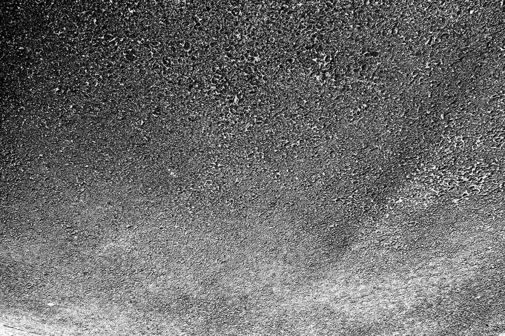
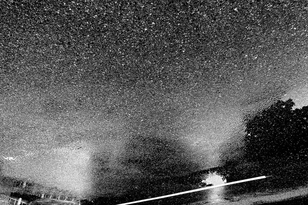
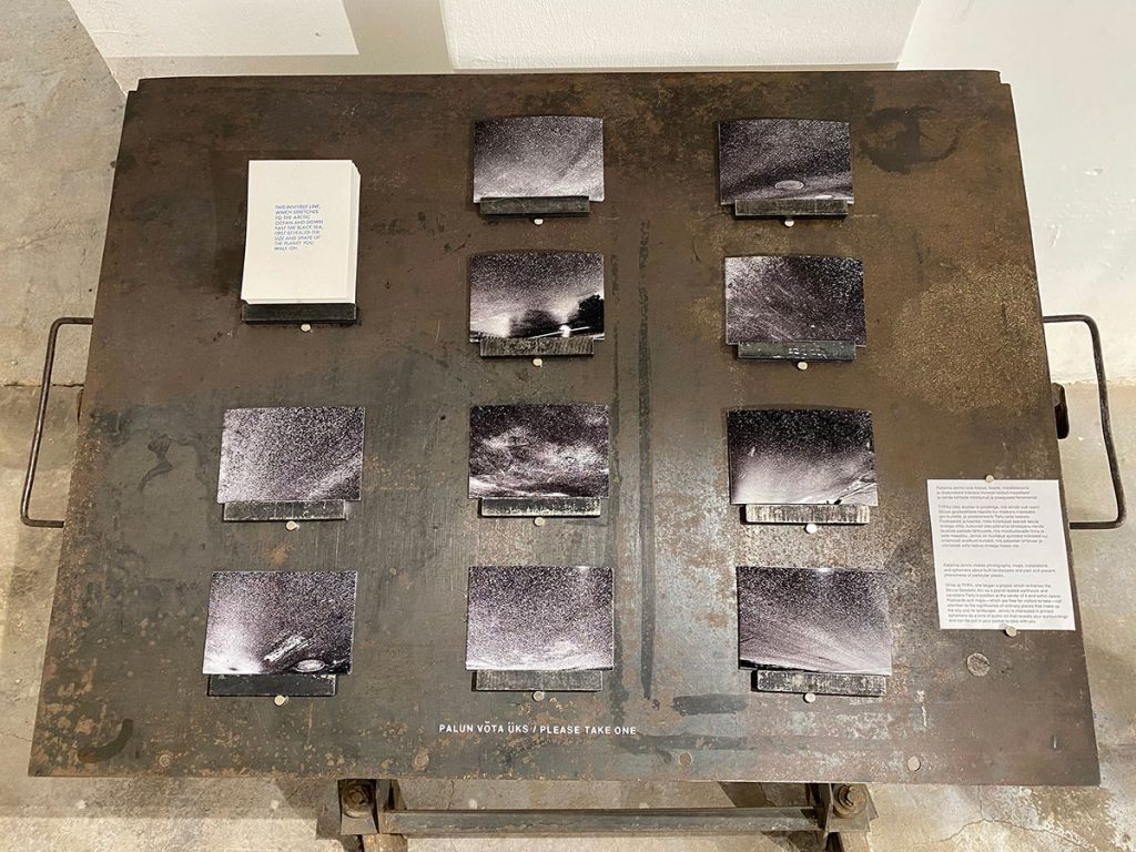
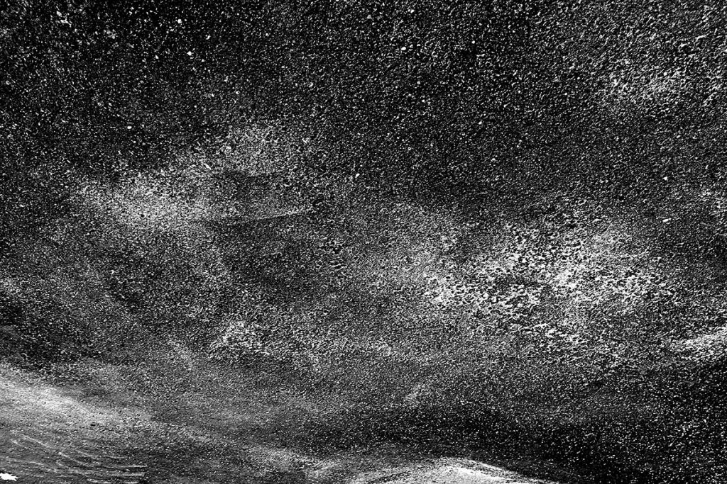
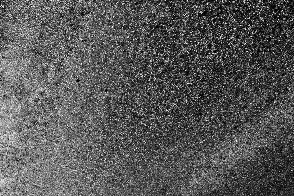
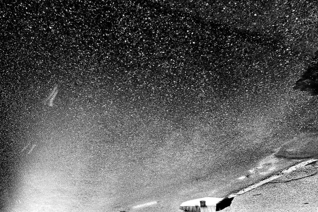
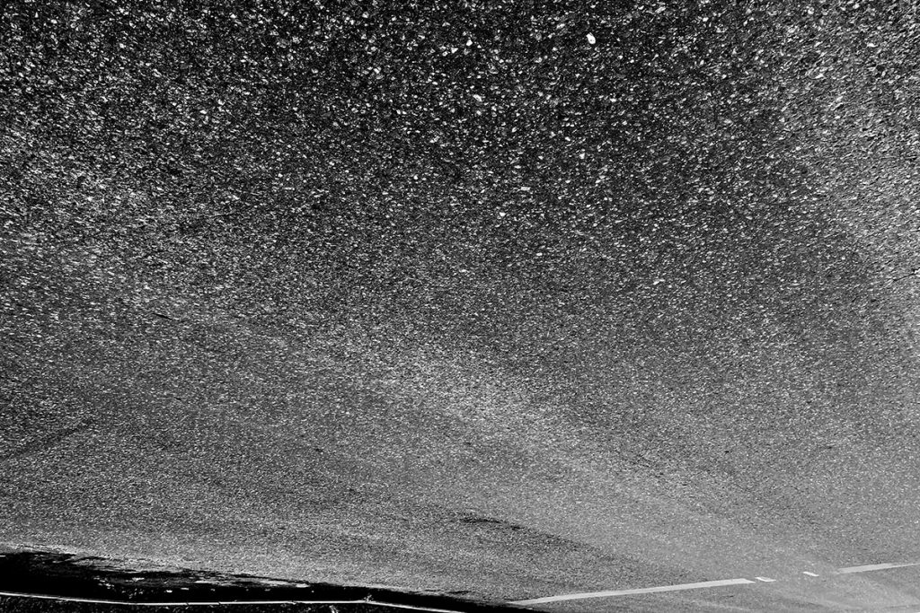
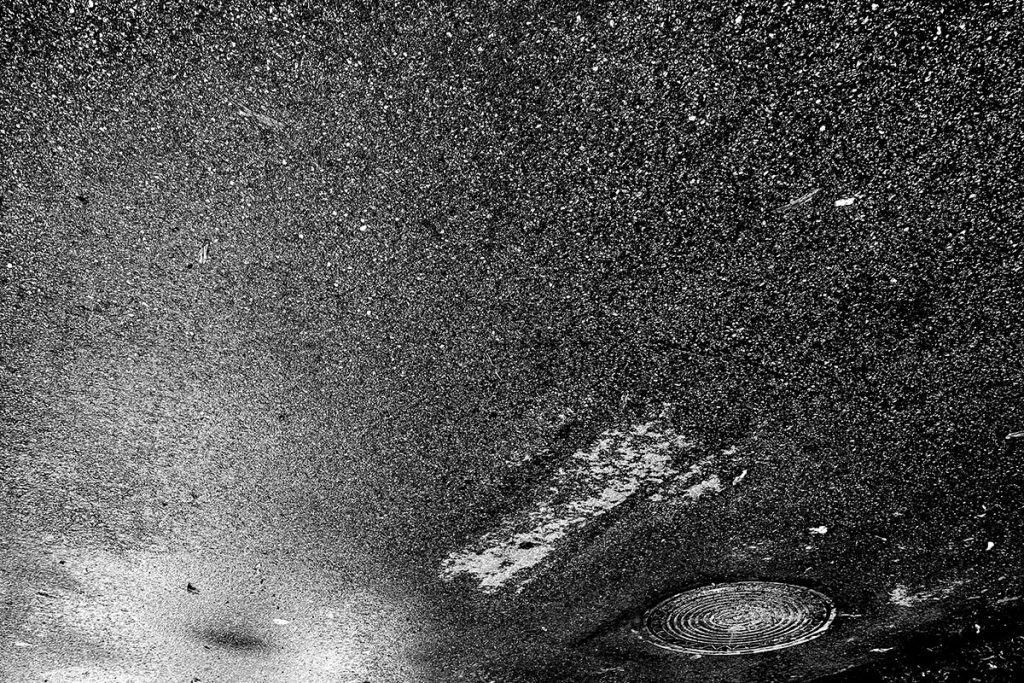
I visited Tartu, Estonia with a plan to explore it according to the Struve Geodetic Arc. As I wandered the city, I wondered about Friedrich Georg Wilhelm Struve himself, who mapped this chain of points that accurately measured the size and shape of the Earth for the first time. He was both an astronomer and geodesist, looking up and looking down, engaged in describing two views of our surroundings that seem opposite—sky/ground, above/below—but in fact are deeply connected to how and where we are oriented in space. With this in mind, I made a series of postcards, each featuring a black and white photograph of the surface of Tähe Tn in Tartu, but turned upside down to mimic a dramatic nighttime sky. These postcards are also based on a translation pun: Tähe Tn translates from Estonian into English as Star St.
 .
.
10 postcards | 2021 | photograph with letterpress print | 10 x 15 cm
 .
.
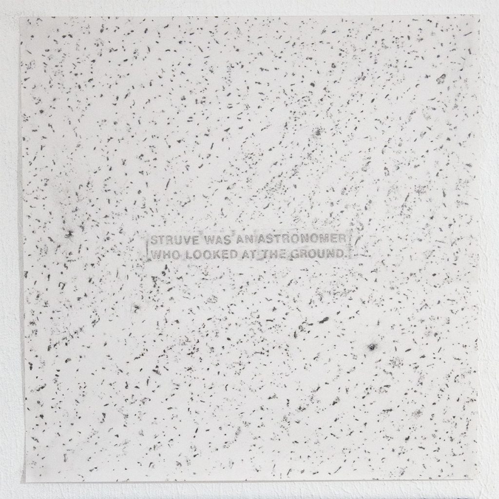
Struve was an astronomer who looked at the ground | 2021 | graphite rubbing of the surface of the street on paper | 31 x 31 cm
.
Struve was a geodesist who measured the sky | 2021 | colored pencil rubbing of the surface of the street on paper | 31 x 31 cm
