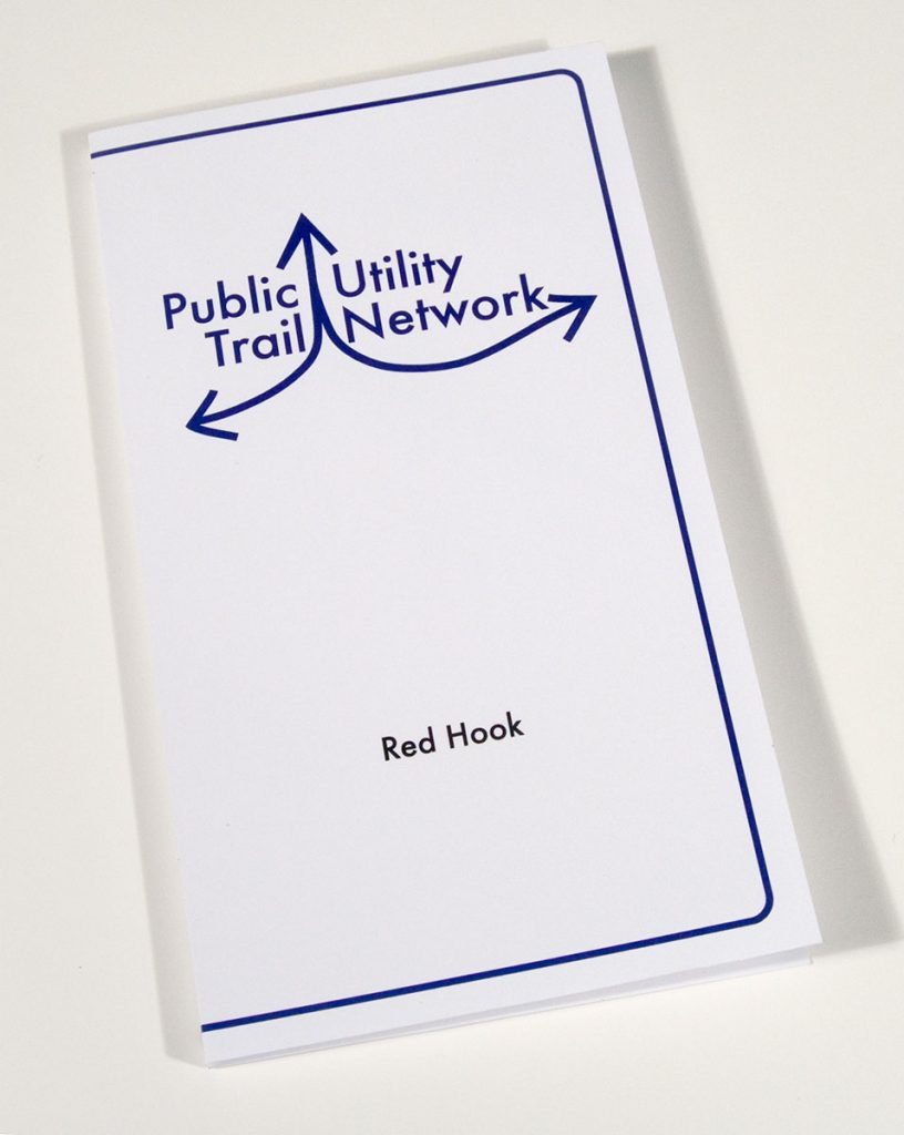
 Public Utility Trail Network
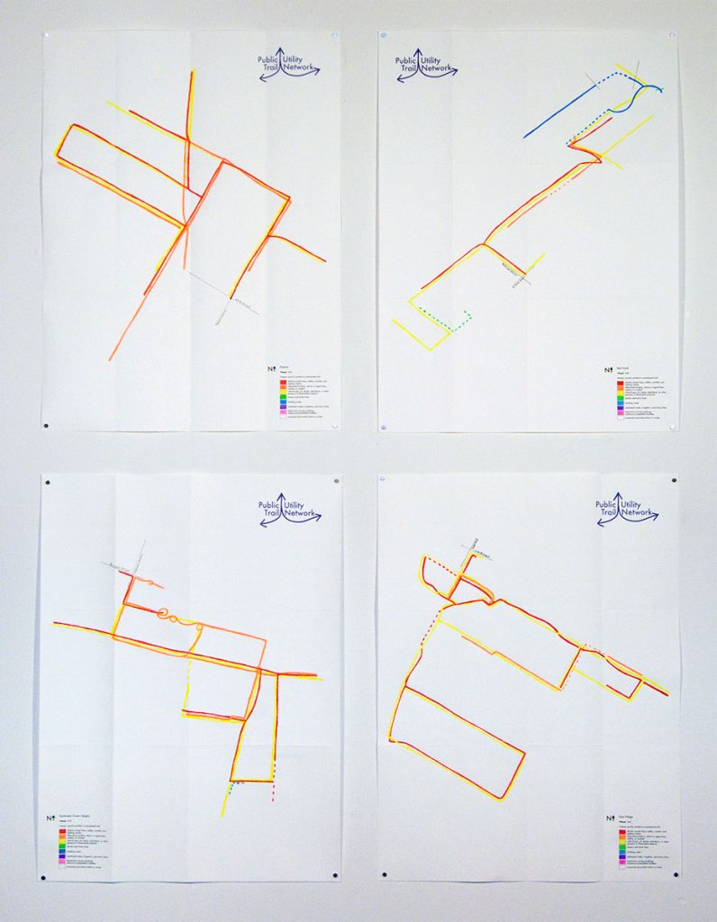
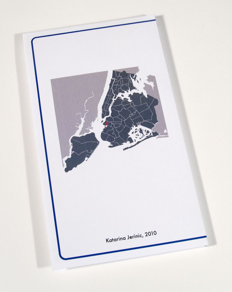
2010-2011 | ink, paint and pencil on paper | maps each: 18 x 24 inches unfolded, 8 1/4 x 4 3/4 folded
.
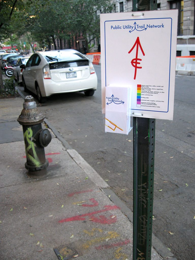
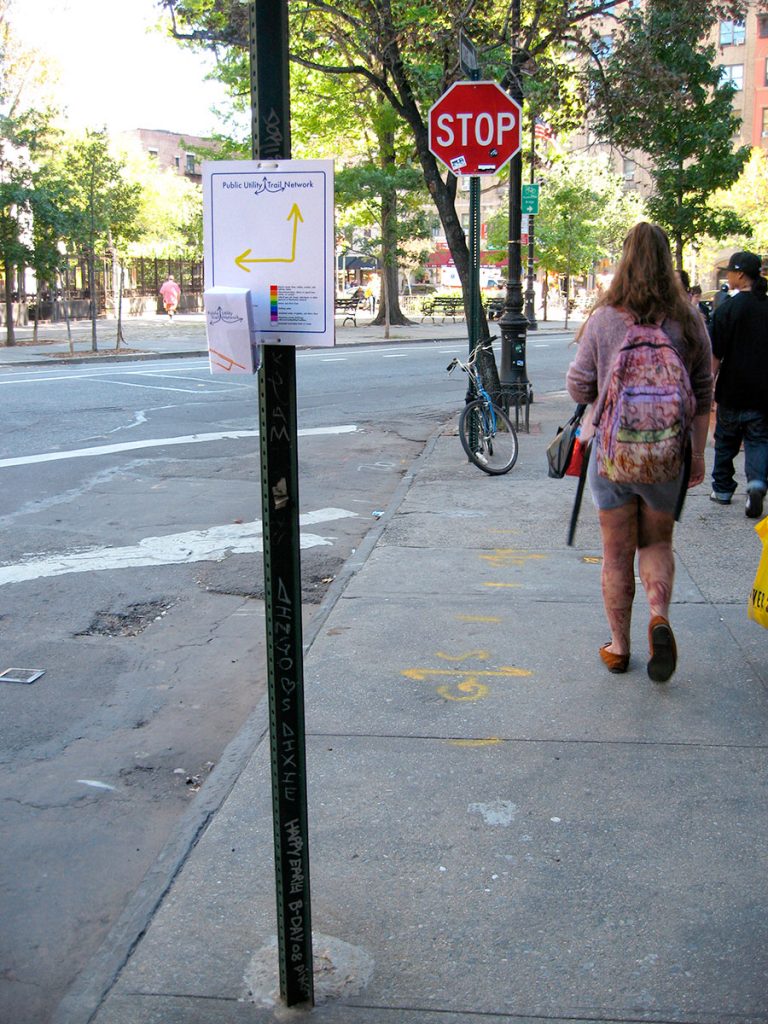
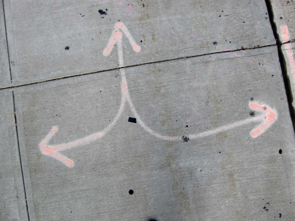
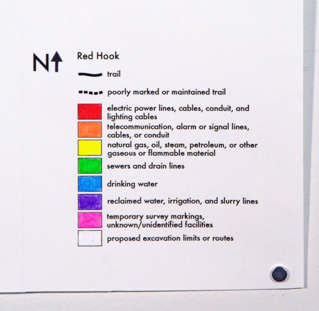
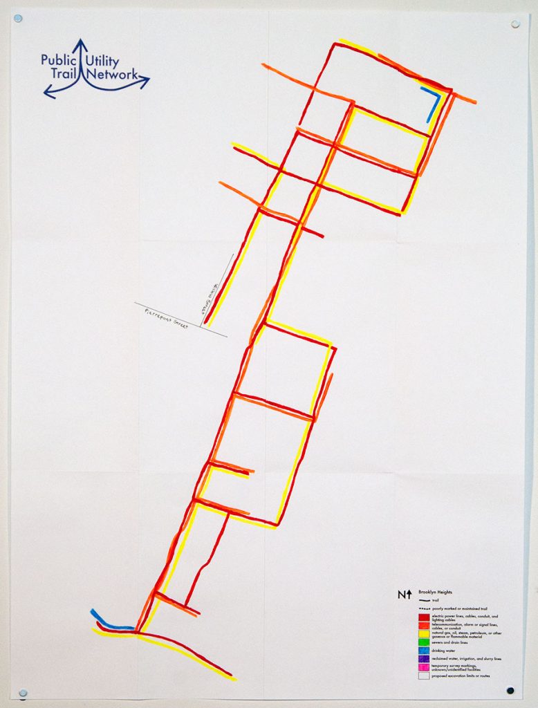
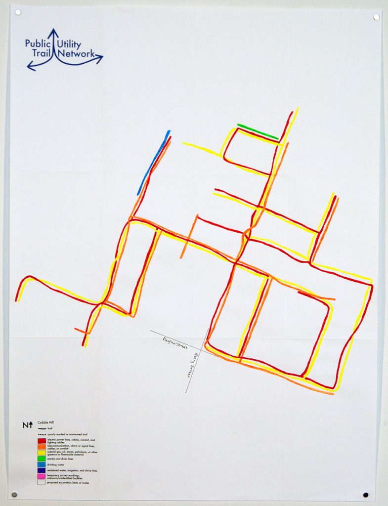
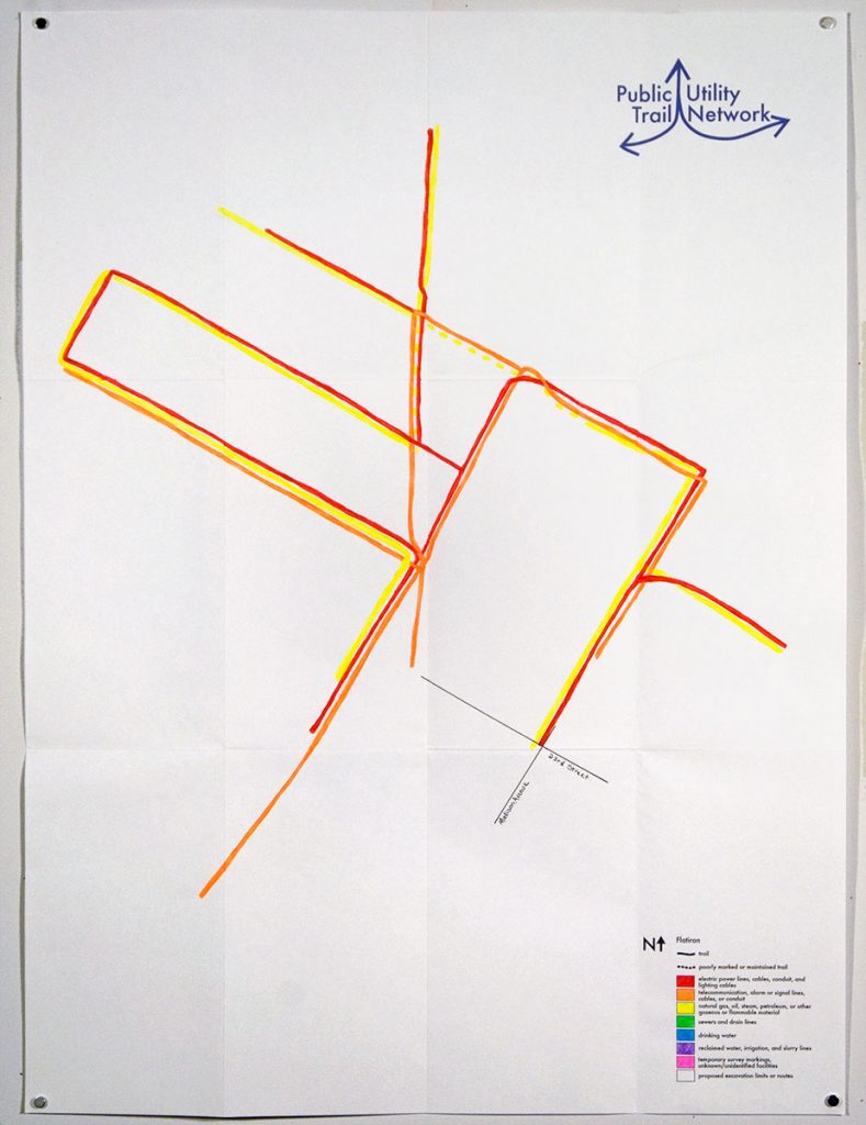
Public Utility Trail Network re-interprets the marks ConEdison and other public utilities paint onto sidewalks around the city as trail markers in a network of hiking/walking trails for pedestrians.
.
![]()
![]()
![]()
![]()
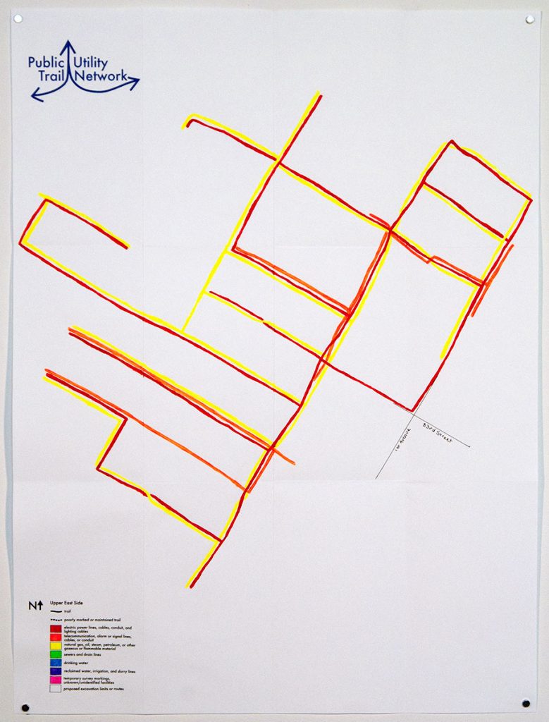
For the Conflux Festival in 2010, trails around the HQ and in the East Village were mapped out. Temporary signs with free maps were attached to existing sign posts around the neighborhood, indicating trail heads and the particular color or types of markings to follow.